The division of the country’s territory into natural regions in Vietnam based on characteristics on topography, flora and fauna, and overall climate. Accordingly, Vietnam's territory on the mainland consists of three natural regions, namely North and Northern Northeast, Northwest and North Central, South Central and South.
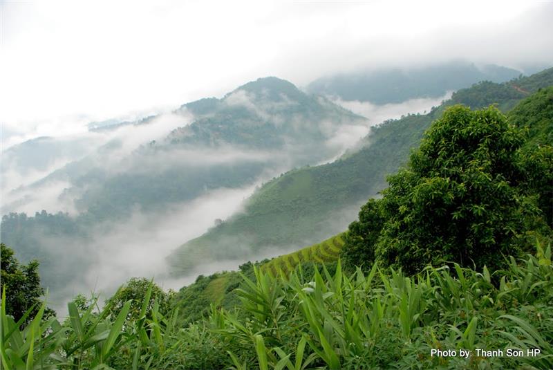
Scope: left bank of Red River, including the Northeast mountainous region and North Delta.
Terrain: The region’s terrain is mainly arc direction (4 bows) with the generally inclined direction of Northwest - Southeast.
+ Low hills with an average altitude of about 600 meters.
+ Much karst topography (caxto).
+ North Delta expands; flat coast includes many bays, islands and archipelagoes.
River: the region owns a dense network of rivers with mainly Northwest - Southeast and arc direction.

Soil and creature: the foothill tropical belt is lower. In additional, there is an appearance of subtropical tree species and Hoa Nam animals.
Mineral: overflowing minerals include coal, iron, tin, tungsten, building materials, lead - silver - zinc, Red River petroleum tank...
Advantage: abundant mineral resources. The climate with a cold winter is suitable for subtropical and temperate vegetable growth. In addition, the region retains many beautiful landscapes, which facilitates for Vietnam tourism development in general and North and Northern Northeast tourism in particular...
Difficulty: the region has to face lots of severe weather phenomena, especially in the winter.
Scope: from right bank of Red River to Bach Ma range.
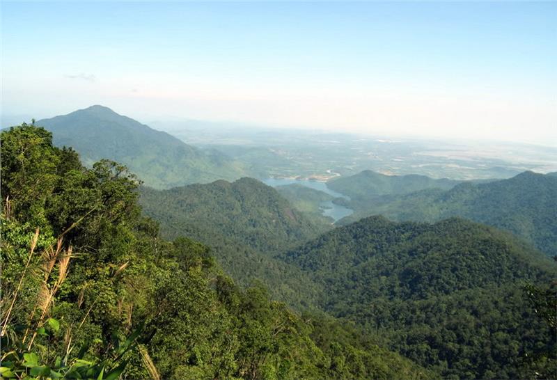
Terrain: the region retains mainly high and average mountainous terrain with Northwest - Southeast direction and the high slope.
+ Delta gradually shrinks; the region takes a transition role on transferring from the delta to the coastal delta.
+ Many sand dunes, beaches, and lagoons.

River: rivers here owns Northwest - Southeast direction; West - East in North Central. High steep rivers possess hydropower potential.
Soil and creature: the region insists of tropical monsoon belt, subtropical monsoon belt on the mountain, and temperate belt over 2600m. Besides, forests are abundant in Nghe An, Ha Tinh.
Mineral: tin, iron, apatite, chrome, titanium, construction material....
Advantage: grazing, industrial crops growth, agro - forestry development on the plateaus, aquaculture, and hydroelectric development.
Difficulty: the region has to cope with natural disasters such as typhoons, floods, landslides, and droughts...
Scope: from Bach Ma range to the South.
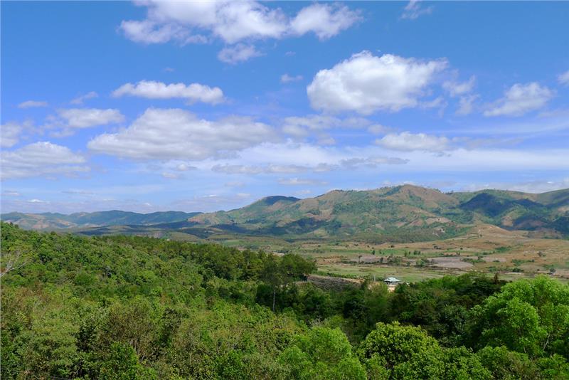
Terrain: the region contains ancient Kontum massif; mountains, plateaus at Central South and Central Highlands. Mountain ranges tend arc direction, of which eastern slopes are fairly steep.
+ Coastal plain is gradually narrow; meanwhile the southern delta has been expanding.
+ South Central Coastline holds many bays with high economic values.

River: the region owns three main river systems with West - East direction (except from Ba River). Besides, there are also systems of Mekong River and Dong Nai River.
Soil and creature: tropical and equator plants prevail. In addition, there are a large number of forests, large mammals and typical mangroves.
Mineral: there is a large reserve of oil and gas in the continental shelf. Highlands is a room of bauxite reserves.
Advantage: land and climate are favorable for agriculture - forestry development and aquaculture. Besides, rich forest and diverse marine resources with high values actually strongly promote economic development.
Difficulty: erosion and soil runoff on the steep slopes; flood in the south plains; and water shortages in the dry season are severe disadvantages needing overcoming.
