Area: 598.23 sq. km
Administration (Towns/Communes): Duong Dong Town, An Thoi Town, Duong To Commune, Cua Can Commune, Ganh Dau Commune, Cua Duong Commune, Bai Thom Commune, Hon Thom Commune, Ham Ninh Commune, Tho Chau Commune
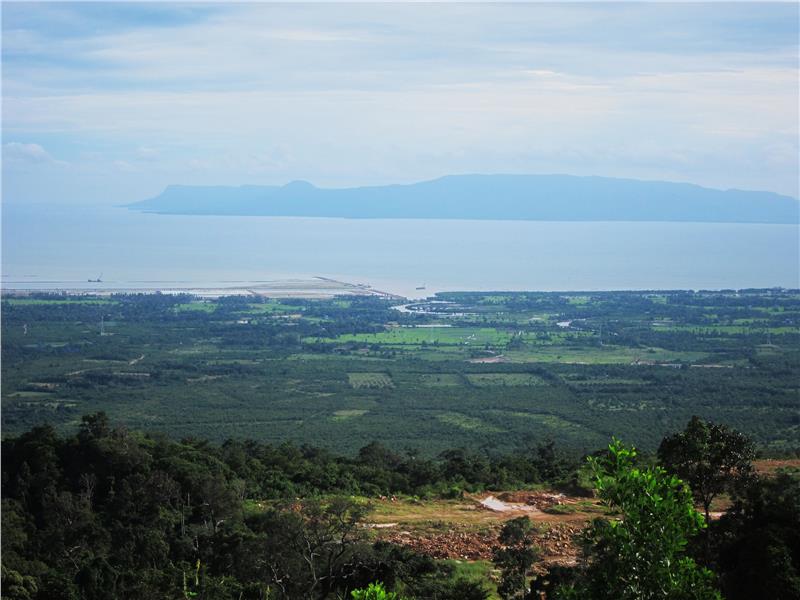
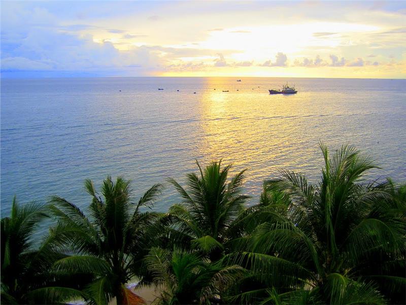
Phu Quoc is a district of Kien Giang province. It is located from 103°49' to 104°05' east longitude and from 9°53' to 10°28' north latitude. The district is far from Rach Gia city 115 km, the southeast of Thailand 500 km, the east of Malaysia 700 km and Singapore 1,000 km. Phu Quoc is known as the largest island of Vietnam situated at the Gulf of Thailand.

Phu Quoc has 22 large and small islands in which Phu Quoc Island is the largest one with the total area of 567 km2 (56,700 hectares) and the length of 49 km. Phu Quoc terrain gradually descends from the north to the south having 99 mountains. A small cluster of An Thoi Island is separated with the southern tip of Phu Quoc by a strait having more than 60 km in depth. Phu Quoc Island has a triangular shape. The bottom edge is located in the north and gradually smaller in the south. As the crow flies in the direction from the north to the south, the maximum length of the island is 49 km. The circumference of Phu Quoc Island is 56,000 ha.

Due to lying in the low latitude and the Gulf of Thailand and being surrounded by sea, Phu Quoc climate is quite cool and has features of the tropical monsoon climate. The Island has two distinct season, dry seasons lasting from November to April and rainy seasons lasting from May to October. In dry seasons, Phu Quoc Island is influenced by the northeast monsoon wind with the relatively strong intensity. The average wind speed is 4 m/s. When the northeast wind is strong, the speed reaches 20 - 24 m/s. The average humidity in dry seasons is 78%. The highest temperature is 35°C in April and May. In rainy seasons, Phu Quoc Island becomes a gate receiving the west and southwest monsoon wind with the average speed of 4.5 m/s. In these seasons, the Island has many clouds and high humidity, from 85 to 90%. The average rainfall is 414 mm per month in comparison with 3,000 mm in one year. Especially, the North of Island can reach 4,000 mm per year. Some months have 20 rainy day per month.
