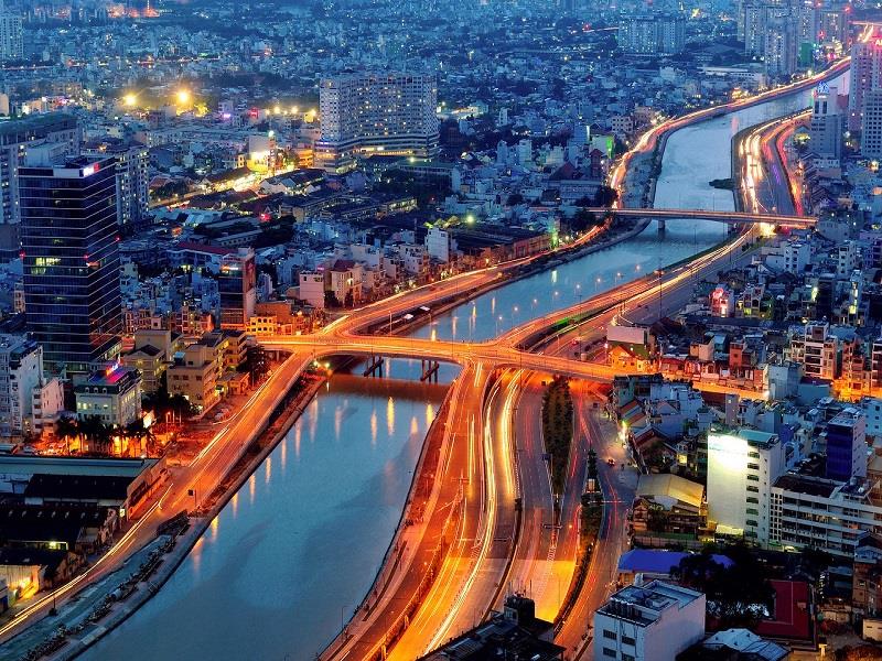
In terms of Southeast geography, the region consists of 5 provinces and 1 centrally-run city: Ba Ria - Vung Tau, Binh Duong, Binh Phuoc, Dong Nai, Tay Ninh, and Ho Chi Minh City. Natural area of the region is about 23,564 km2, accounting for 7.3% of whole national area.

Southeast is a new land in the history of the development in Vietnam country. It has for a long time been a hub attracting many urban areas from South Central Coast and South Central Highlands. These regions are home of land resources, natural resources, forests and minerals resources. South East is adjacent Mekong River Delta, the largest granary in Vietnam to the west and southwest where there is a great potential for agricultural development; with South China Sea to the south where is rich in marine resources, oil, gas and seaports generating trade and economic exchanges; with Cambodia to the north and northwest through Tay Ninh border gate facilitating to promote widespread transport hub with Cambodia, Thailand, Laos, and Myanmar; and with Central Highlands and South Central Coast to the east and southeast. With Southeast geographical location, the region keeps an important transport hub among southern provinces with the whole country and over the world.

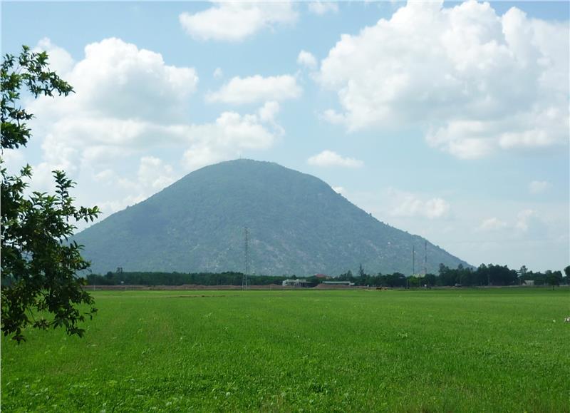
Located on a large and wide plain, Southeast is the transition region from South Central plateau to Mekong River Delta. The elevation terrain in Southeast changes from 2,000 to 200 meters, there are a few young mountains scattering here. Generally, Southeast topography facilitates agricultural development, industrial and urban development, and construction of transportation systems...
Under influences of geographical location and topography, Southeast region is characterized by sub-equatorial climate with high temperatures and virtually no change around the year. Especially, the climate retains profound differentiation seasonally and is consistent with the operation of the monsoon. Accordingly, the region owns abundant rainfall with annual average about 1,500 - 2,000 mm.
Mineral resources: There are some minerals in the region, such as paving stones (accounting for 27% of minerals on land) mostly distributing in Tanh Linh (Binh Thuan), Phu Tuc (Dong Nai), kaolin reserves of approximately 130 million tons distributing in Binh Duong, Binh Phuoc; glass sand deposits mainly distributing in Binh Chau (Ba Ria - Vung Tau) to supply raw materials for glass factory in Bien Hoa and for export.
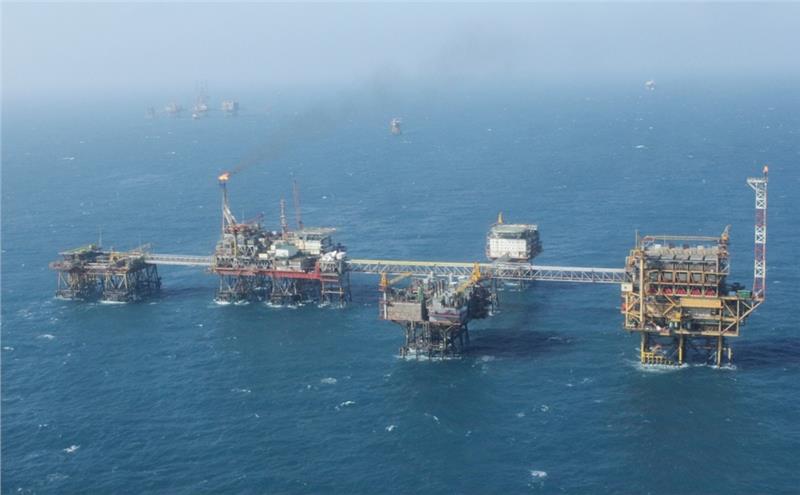
Besides, oil and gas reserve is projected of 4-5 billion tons and 485-500 billion m3, which has important implications for regional and national economy. Bauxite ore with reserves of 420 million tons mainly is distributed in Binh Phuoc, Binh Duong.

Forest resources: According to recent statistics, Southeast forest area is not actually large, just about 532,200 hectares, accounting for 2.8% of the national forest area. The area is unevenly distributed among provinces in the region. Among them, plantations are concentrated in Binh Duong, Binh Phuoc with 15.2 thousand hectares; Ba Ria - Vung Tau with 14.3 thousand hectares.
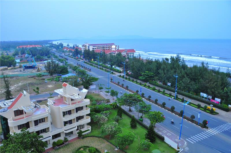
Marine resources: Southeast region owns a 350 km long coast. Among them, Ninh Thuan, Ba Ria - Vung Tau is one of four national key fishing grounds with around 290-704 thousand tons of fish stocks, accounting for 40% of southern waters' fish reserve. The area of aquaculture in the region is about 11.7 thousand hectares. In addition, Vung Tau, Long Hai beaches in Southeast extremely facilitate tourism development.

Land resources: Agricultural land is a strength in the development of the region. Of the total land bank, there is 27.1% of land area used for agricultural purposes. There are 12 land groups in whole region with 3 extremely important soil groups, namely the red-brown soil on the basalt, yellow-brown soil on the basalt, and gray soil on the ancient alluvial. These three groups which retain a large area of land and high quality are favorable for developing a variety of crops such as rubber, coffee, cashew, peanuts, sugarcane, soy and plant food. However, unused land still accounted for 22.7% of natural land area (42.98% compared to whole country). The percentage of land used in agriculture, forestry, specialized land, and land for residential use is quite high compared to the national average use.
