Red River Delta geography has for a long time kept an important role in Vietnam geopgraphy as well as the development of the country. Red River Delta is a vast triangular region located around the Red River basin area in the north of Vietnam. The region consists of 11 cities and provinces, namely Vinh Phuc, Ha Noi, Bac Ninh, Ha Nam, Hung Yen, Hai Duong, Hai Phong, Thai Binh, Nam Dinh, and Ninh Binh. Except from Thai Binh and Hung Yen, the rest of provinces in Red River Delta own mountains. The whole region’s area should be 23,336 sqkm, representing 7.1% the country’s area.
Red River Delta extends from latitude 21°34'N (Lap Thach district) to the alluvial about 19°5'N (Kim Son district), from 105°17'E (Ba Vi district) to 107°7'E (Cat Ba Island). The north and northeast is adjacent Northeast region (Vietnam), the west and southwest are Northwest, the east is Gulf of Tonkin and the south is Central North region. The flat is gradually low from northwest to southeast, from the ancient alluvium 10 - 15m down to the alluvial 2 - 4m in the center and daily flooding intertidal zones as well.
Red River Delta terrain is relatively flat with a dense river system, creating favorable conditions for the development of the waterway system and infrastructure in the region.
River system is relatively developed. However, the volume of the flow is too large in the rainy season, which can cause flooding, especially in estuaries. On the contrast, during the dry season (from October to April the following year), the volume in the river is only 20 - 30 % the annual water, which causes dehydration. Therefore, to stabilize the production development, especially in agriculture, related agencies must build irrigation systems to proactively ensure well-operated irrigation systems; simultaneously, build flood control dykes and salty preventability.

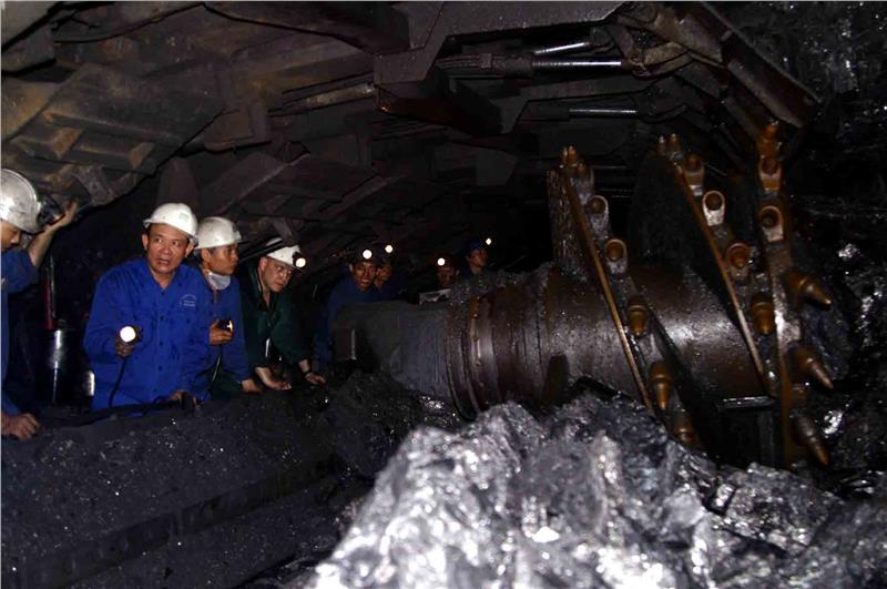
The most significant mineral resource is clay, especially white clay in Hai Duong serving the production development of porcelain products. Additionally, there is also limestone resource in Thuy Nguyen - Hai Phong to Kim Mon - Hai Duong; limestone range from Ha Tay to Ninh Binh accounting for 5.4% limestone volume of the country serves the development of building material industry. Besides, the region owns the potential for gas. A brown coal resource at the depth of 200m to 2000m reserving ten billions of tons currently has had no conditions for the exploitation. However, in general, mineral resources are not many types and their reserves are at the medium and small level, so industrial development heavily depends on materials from external sources.
Red River Delta owns a large sea area, about 400 km with a coastline stretching from Thuy Nguyen - Hai Phong to Kim Son - Ninh Binh. The coast with a large intertidal zone and thick sediment is an ideal facility for seafood aquaculture and seaweed farming. In addition, a great number of beautiful beaches and islands, such as Do Son Beach, Cat Ba Island district...can be invested and explored to turn the region into a key tourist area of the country.

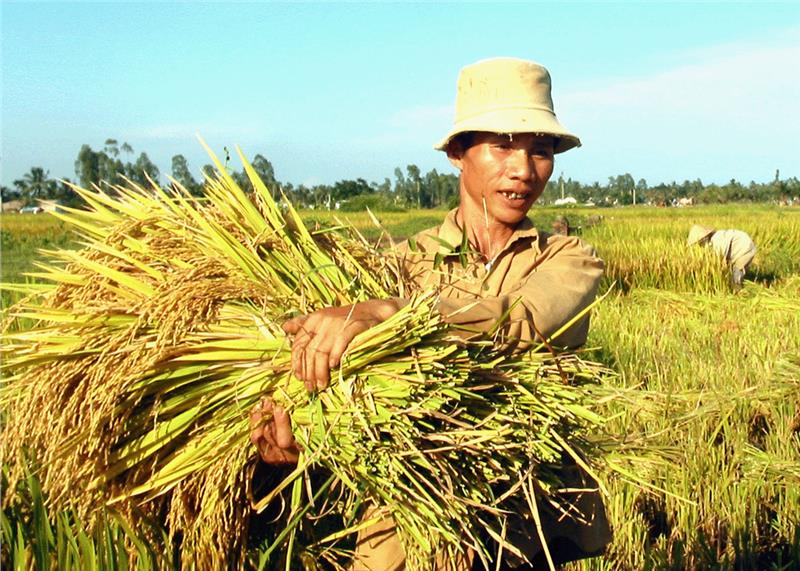
Agricultural land is the basic land resource of the region coming from the silt of Red River and Thai Binh River’s accretion. There are over 103 million hectares of land were used, accounting for 82.48% natural land area of the region and 5.5% used land area of the whole country. Red River Delta land is suitable for intensive wet-rice and short-term industrial crops. The planted food crop area ranked the 2nd of the country with 12,429,000 hectares. In addition, plain area scalability is still about 137,000 hectares left. The expansion area should be associated with the process of conquering the sea through deposition; simultaneously, implementing measures according to motto “rice encroaching rush, rush encroaching mangrove, mangrove encroaching sea”.
With advantages of its terrain, biological resources in the region are abundant with many precious plants and animals characterizing Vietnamese biology. Although residential areas and urban are dense distribution, biology is still preserved in Ba Vi National Park, Cat Ba or Cuc Phuong.
