Located in Central Highlands geography zone, Dalat has the geographic coordinates from 11°48'36'' to 12°01'07'' north latitude and 108°36'27'' east longitude. Dalat shares borders with Lac Duong district in the north, Don Duong District in the east and southeast, Lam Ha District in the west and Duc Trong District in the southwest.

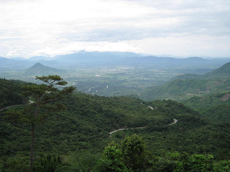
Dalat topography has the average height of 1,500 m above the sea level. The highest place in the city is Nha Bao Tang (1,532m) while the lowest one is Nguyen Tri Phuong valley (1,398.2m). Dalat terrain is classified into two distinct types including lowlands and mountainous areas. The lowlands have a shape of a basin having hills with round peaks and steep slopes. The average height of this region is about 1,500m.The mountainous areas are distributed surrounding the highlands. Mountains have the height of 1,700 meters forming a windbreak belt for the lowlands. In the direction of the north, Lang Biang range of mountains looks like a wall towards the northeast - southwest stretching from Da Sar stream to Dankia lake. The two highest peaks of the range has the height of 2,167 m and 2,064 m. Bi Doup and Cho Proline ranges of mountain are locate in the east and southeast of Dalat.

Because of lying in the altitude of 1,500 m and covering by ranges of mountain and forests, especially pine forests, Dalat climate is pretty mild and temperate all year round. Located in the tropical savanna climate, Dalat has two distinct seasons including rainy seasons and dry seasons. Rainy seasons last from May to October often witnessing the presence of the southwest monsoon winds. On the other hand, dry seasons are influenced by the northeast monsoon winds lasting from November to April. In dry seasons, Dalat is affected by the air mass of the South China Sea which brings the sunny weather. The weather in this season has less clouds and no rains with the lower temperature at night and the large temperature range. In rainy months, the northeast monsoon winds almost have no influence on Dalat anymore. It is replaced by the equatorial air mass moving from the south to the north. The southwest monsoon winds bring the major source of humidity causing heavy rains. However, due to the influence of the tropical air mass of Pacific, there are still some dry periods in rainy seasons.
Temperature: The average temperature in Dalat never exceeds 20°C even in the hottest months. In winter, the average temperature of Dalat is over 14°C. Diurnal temperature range in Dalat is very large with the average number of 11°C.
Sunshine hours: The total sunshine hours in the city are relative high, about 2,258 hours per year focused mainly from December to March in dry seasons. The total amount of radiation in Dalat is approximately 140 kCalo/cm2/year. In comparison to other regions, the amount of solar radiation in Dalat is not high; however, it brings the relatively low and mild temperature for the city.
Rainfall: On average, Dalat City has 161 rainy days with the total rainfall is 1,739 mm mostly focused on July, September and October. The rainfall from May to October accounts for 80% the total amount of one year.
Fog: The average number of days having fog is 80 - 85 days per year. However, this phenomenon appears mostly from February to May and from September to October.

Alternating between low hills and surrounding mountains, Dalat has over 20 streams belonging to a system of Cam Ly and Da Tam streams, and Da Nhim River system. These streams are the headwaters belonging to the basin of Dong Nai River. A half of these streams are shallow and only flow in rainy seasons. Cam Ly stream has 64.1 km in length derived from Lac Duong district flowing in the direction of north - south. This is the largest stream of Dalat having an important role in the creation of urban landscapes.
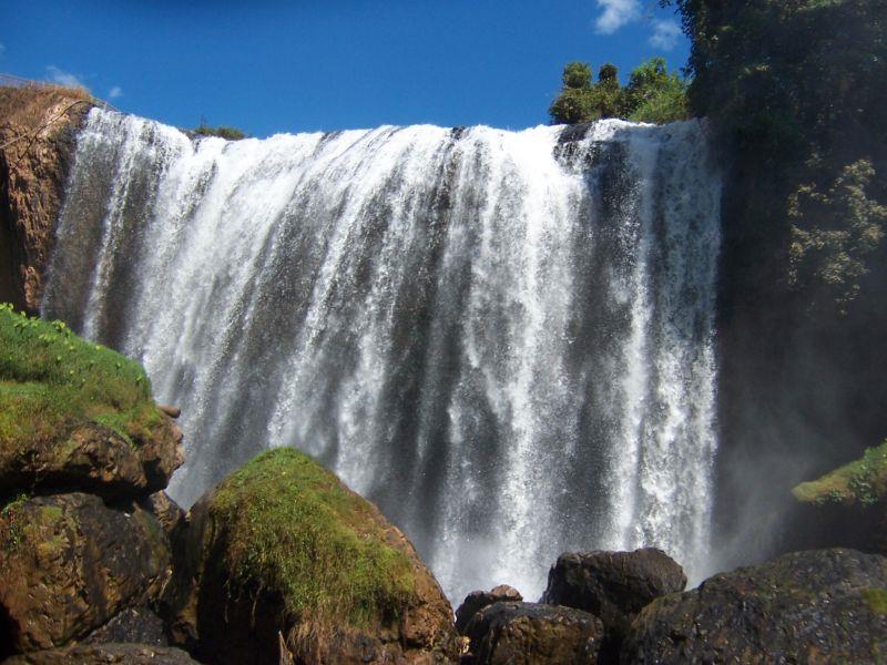
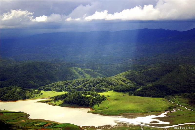
In addition, Dalat is known as the city of lakes and waterfalls with about 16 big and small lakes which are widely distributed. Xuan Huong Lake is located in the centre of the city. The total area of Xuan Huong Lake is 38 hectares created in 1919 during the construction of Dalat. Before 1986, Xuan Huong Lake and Than Tho Lake are the main sources providing water for the city. Nowadays, the water for daily activities of local people is taken from Dankia Lake (Lac Duong District).
