Quang Ngai is a province in Vietnam South Central Coast, adjacent to Quang Nam, Binh Dinh, Kom Tum and the South China Sea with 130km long coastline. Quang Ngai's coastline has the length of 130km with the vast territorial waters of 11,000 square kilometers and 6 seaports rich in seafood resources and beautiful beaches. Quang Ngai is located in the key economic region of Central region selected to build the first oil refinery of Vietnam. Quang Ngai Province was re-established on July 1st, 1989 on the basic of separating Nghia Binh district into Quang Ngai and Binh Dinh.
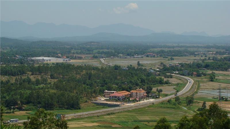
Quang Ngai stretches from 14°32′ to 15°25′ north latitude and from 108°06′ to 109°04′ east longitude, leans on Truong Son Mountain Range overlooking the South China Sea. The province borders Quang Nam to the north with 98km long boundary line, Binh Dinh to the south with 83km long boundary line, Kon Tum to the west with a length of 79km boundary line, and the South China Sea to the east. Quang Ngai lies midway, at 883km south of Hanoi and 838km north of Ho Chi Minh City. Quang Ngai topography is relatively complex, sloping terrain from west to east with alternating hills, mountains, coastal plains. Its terrain is dominated by a large plain along the coast and in the center of the province and by mountains and hills in the west and along its borders with Quang Nam and Binh Dinh provinces. Quang Ngai locates in the tropical monsoon climate, so the temperature is high and less volatile. The average temperature is 25-26.9°C. Quang Ngai climate is divided into 2 distinct seasons including rainy season and dry season.
In 1471, Dai Viet troops regained Thang, Hoa, Tu Nghia, occupied Cha Ban capital (belonging to Binh Dinh today) of Champa Kingdom. In 1062, Tran Quang Nam changed into Dinh Quang Nam, and Tu Nghia (belonging to Quang Nam) was changed into Quang Nghia/ Ngai. In 1776, Tay Son dynasty renamed Quang Nghia into Hoa Nghia. In 1803, Nguyen Dynasty renamed Hoa Nghia into Quang Nghia as before. In 1807, Cu Mong commune (Chanh Mong, or Chanh Lo) was selected to build Quang Ngai. In 1832, Quang Nghia/ Ngai was established. On September 20th, 1975, according to the Resolution No. 245/NQ-TW of the Party Central Committee on the abolition of district level, consolidation of provinces, Nghia Binh province was established on the basis of merging 2 provinces of Quang Ngai and Binh Dinh. On July 1st, 1989, Nghia Binh province was separated into Quang Ngai and Binh Dinh provinces. Quang Ngai province was re-established.
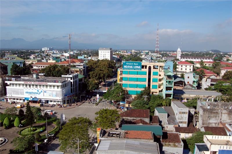
Quang Ngai province has 1 city and 13 districts including Quang Ngai city, Ba To district, Binh Son district, Duc Pho district, Minh Long district, Mo Duc district, Ly Son district, Tu Nghia district, Tra Bong district, Tay Tra district, Son Tinh district, Son Tay district, Son Ha district and Nghia Hanh district.
Quang Ngai population is 1,221,600 people, the population density reaches 237 people/ km², of which urban population is 178.900 people, and rural population is 1,042,700 people. Natural population growth rate increases by 10.2‰. According to General Statsistics Office of Vietnam, until April 1st 2009, Quang Ngai has 29 ethnic groups and foreigners living together. Among them, Kinh ethnic group account the most population with 1,055,154 people. The 2nd rank is Hre people with 115,268 people. Other ethnic groups are Co people with 28,110 people, Xo Dang people with 17,713 people, so on.
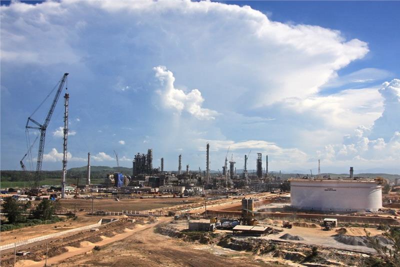
Quang Ngai province is located in the central key economic region selected by the Government for the construction of Dung Quat oil refinery- the first oil refinery nationwide, contributing to boosting economic growth and rapidly shifting economic structure towards the industrialization and modernization. In 2014, Quang Ngai economy achieved many positive results; the growth rate, provincial budget revenue and export value increased compared to the plan. The agricultural production was stable, and the rice yield reached the plan. Despite being affected by the South China Sea issue, fishing completed the year's plan. The gross regional domestic product reached 11,528.26 billion dong (at the constant price in 1994), up 2.2% over 2013, of which industry - construction was estimated 5731.93 billion dong, falling 4.2% compared to 2013, but exceeding 6.9% of the plan; service was estimated at 3814.86 billion dong, up 12.5% over 2013 and reaching the year's plan; agriculture-forestry-fishery reached 1981.57 billion dong, up 4.3% compared to 2013.
The economic structure continued to shift right direction, industry-construction accounts for 61.5%, service account for 22.8%, agriculture-forestry-fishery decreased by 15.7%. GRDP per capital increased 2215USD, exceeding the plan. Industry has positive shifts; most of industrial products reached and exceeded the plan. The industrial production value was estimated 11,528 billion dong (at the constant price 1994), exceeding 6.7% of the year's plan. Total retail sales increased by 13.2%; the export reached 650 million USD, up 36.8% over the plan; the import turnover was estimated at 760 million USD, decreasing by 34% compared to 2013 and reaching 100% of the plan. The production values of agriculture-forestry-fishery reached 3294 billion dong (at the constant price in 1994), up 4.3% compared to 2013, of which agricultural production was estimated at 1909.57 billion dong, up 1.6%; forestry production reached 2321.28 billion dong, up 18%; forestry reached 1153.94 billion dong, an increase of 6.7%.
Education and training has many positive changes, the network of schools continued to be improved, training methods are innovated and has many improvements. Health care is always concerned. The spirit, responsibility, behavior, medical ethics, quality of medical staff, doctors is improved. 100% communes and wards are equipped with health centers. Cultural identity of each ethnic group is always preserved and promoted.
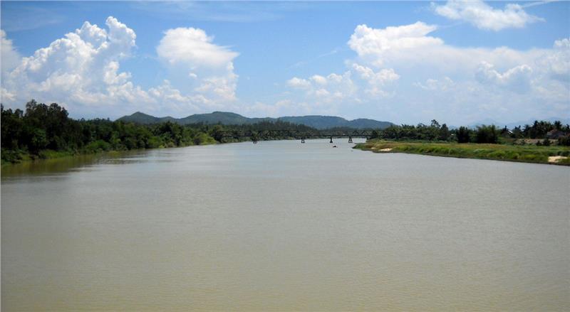
Quang Ngai is the land with a rich history of Sa Huynh Culture, Champa culture. In addition, there are 2 famous scenic spots "An Mountain, Tra River". Ethnic groups living in the mountainous region of the province contributes to the diversity of Quang Ngai culture. Also, Quang Ngai is the hometown of Le Van Duyet, Truong Dinh, Truong Dang Que, Bach Van Vinh, Le Dinh Trung and many famous celebrities, writers, poets, musicians and artists as Nguyen Vy, Bich Khe, Thanh Thao, Te Hanh, Tra Giang, Truong Quang Luc, The Bao and Nhat Sinh. In addition, Quang Ngai has still preserved traditional handicraft villages as bronze casting, ceramics, brocade weaving, and mat weaving and so on.
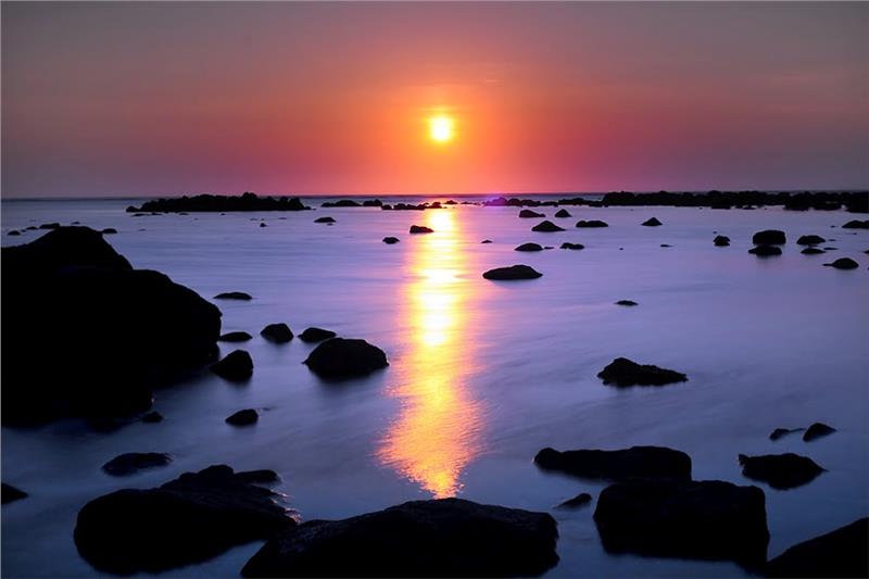
Being a province in the South Central Coast, Quang Ngai is an ideal destination for interesting experiences with the sea and famous landscapes. Ly Son Island or the so-called Cu Lao Re is dubbed as "the kingdom of garlic". In addition to the blue sea and white sandy beaches, there are many famous landscapes on the island such as Hang Pagoda, Duc Pagoda, An Hai village, Am Linh Temple, Paracels Museum, two volcanic peaks of Gieng Tien and Thoi Loi. The island is also the place appearing the earliest civilizations, from prehistory, including Sa Huynh culture and Champa culture along with hundreds of ancient relics. My Khe Beach is located about 15km from Quang Ngai town, 16km from Dung Quat port, in Son Tinh district. My Khe is an ideal beach stretching 7km with the immense space, smooth sandy beach, gentle slope surrounded by the deep blue forest. In addition to relaxing, swimming and breathing the fresh air, tourists have the chance to visit Son My memorial.
Sa Huynh beach is a beautiful beach, known as the important salt barn of the central region, located in Duc Pho district. For long time, Sa Huynh is known as the archaeological relic with Sa Huynh Culture. Coming here, tourists should spend time to explore the local culture, an indispensable thing in the journey. Thien An Pagoda is located on the mountain with the same name is a national historical relic and the symbol of Quang Ngai along with Tra River. Thien An Mountain is about 3km from Quang Ngai city, in the north of Tra River, On the top mountain is Thien An pagoda built in the late 17th century, Buddha well and bell. Truong Luy (Long Wall) is ancient stone relic with 113km long running through 8 districts of Quang Ngai. It was mainly built of rocks with the average height of 2m. It includes ancient ramparts, military posts and road with special cultural value, is the longest ancient architecture in Southeast Asia, with unique architecture. Interestingly, if tourists have much time, they should conquer Thoi Loi Mountain, admire the panoramic view in the south of Ly Son Island or visit Hang Pagoda, watch the lighthouse at the sunset, visit Duc Pagoda, and so on.
Festival
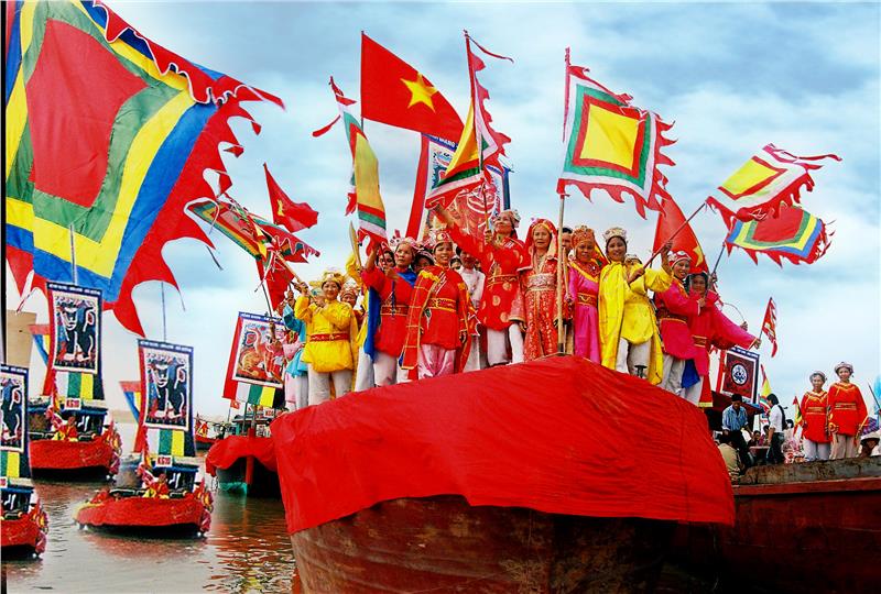
Ethnic groups in Quang Ngai own many unique festivals. Every festival in Quang Ngai brings one or more purposes and meanings. Unlike the modern festivals, the traditional festivals are always associated with religion, national culture and play an important role in the education, transmission of cultural values from generation to generation. Like Vietnamese people in other regions, Vietnamese people in Quang Ngai have many annual holidays as Tet holiday, Tet Doan Ngo, Mid-Autumn Festival. Besides, people in coastal region still preserve various types of traditional festivals as festivals worshiping Whale, fishing festival, Goddess worship festival, and boat racing...
